
Services
Aerial survey for environmental consulting: georeferenced imagery, monitoring and reports
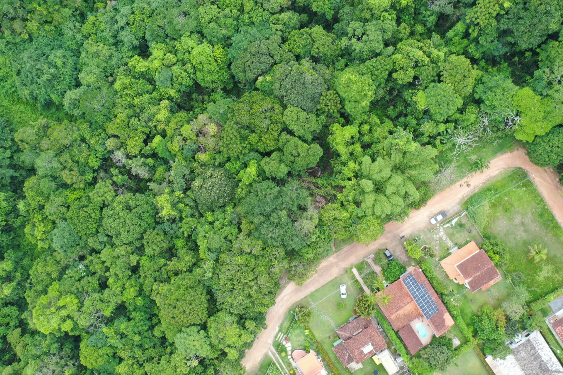
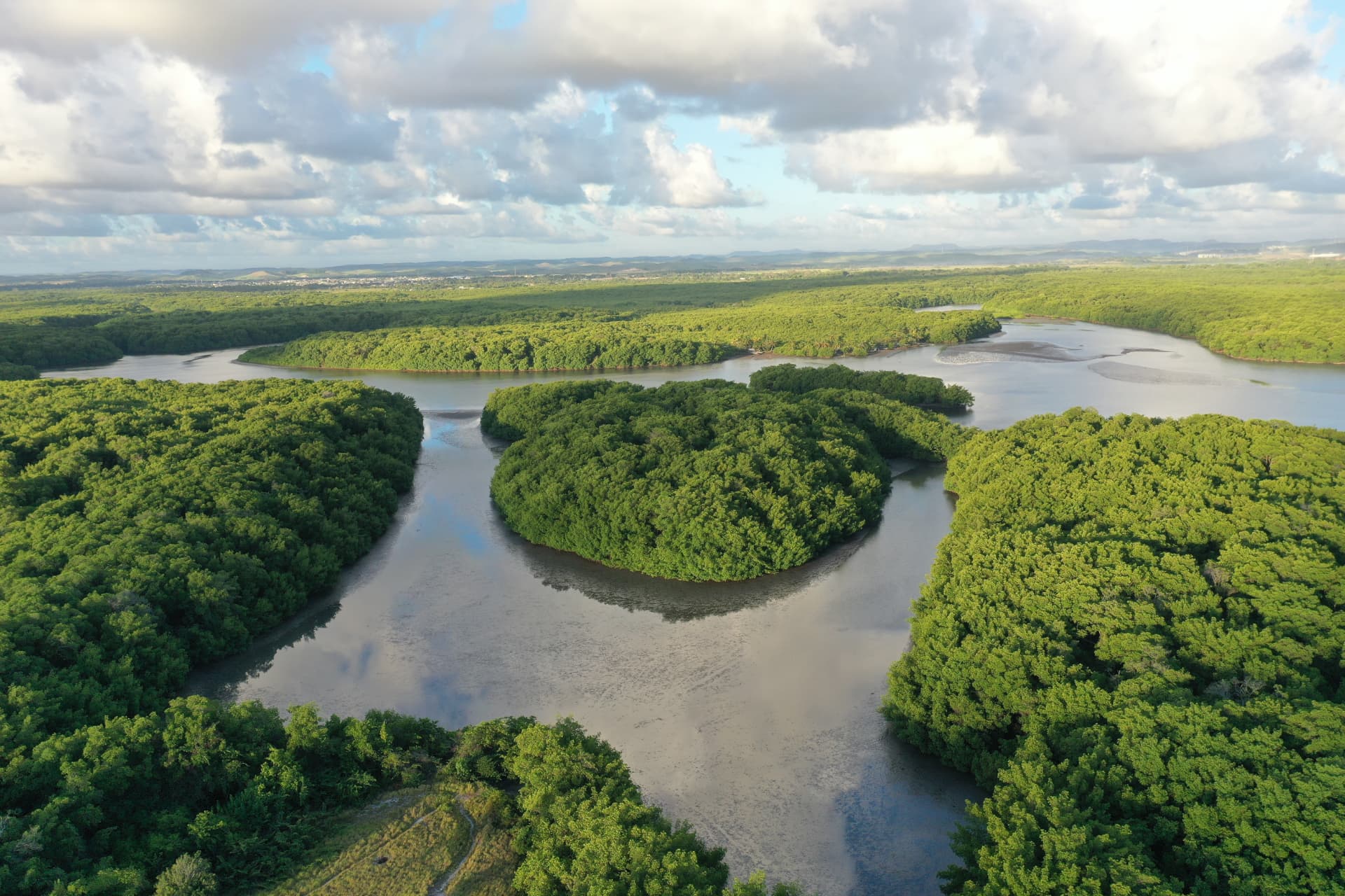
Georeferenced aerial records support inventories, monitoring, expert appraisals and planting follow-up. We deliver orthomosaic, high-resolution imagery and video, plus a technical report with flight methodology and capture date.


When you need it
- Proof of intervened or restored area
- Site mapping for a study or project
- Periodic monitoring with temporal comparison
- Baseline record before construction starts
- Environmental expert appraisal or technical report with dated aerial record
What you get
- Georeferenced orthomosaic of the area
- Digital surface model when applicable
- High-resolution imagery and video with capture date
- Area calculation and comparison across campaigns
- Temporal comparison for area monitoring and planting evolution
- Technical report with flight methodology
How we run it
- 01
Flight planning
Altitude, overlap and permissions.
- 02
Capture
Field flight with georeferenced records.
- 03
Processing
Orthomosaic and derived products.
- 04
Delivery
Report and files usable in the project.
Frequently asked questions
- Is flight authorization needed?
- Yes. Operations follow unmanned aircraft rules and local airspace restrictions, checked during planning.
- Does imagery work as evidence?
- It works as technical evidence when accompanied by a report with methodology, date and georeferencing.
Sectors served
Energy and infrastructureReal estatePublic sector